
L.A.'s "Puente Hills" Earthquake
One Week Later
—an invited Scenario
Dear Readers:
This "Invited Scenario" represents the first in a series of articles that the Natural Hazards Observer will bring to you over the next year, examining "Disasters Waiting to Happen" – some of the great catas- trophes threatening the U.S. and the rest of the world that somehow manage, most of the time, to hide just below our day-to-day consciousness. The events covered – from volcanic eruptions to lasting drought – are not Hollywood fantasies. At the same time, these scenarios are just that – scenarios, not fact and not predictions. They are intended to spark discussion about creative approaches to mitigation, because none of what you read here is written in stone. Our future is in our hands. These natural hazards will occur. The consequences depend on us. Herewith the first scenario, written as a newspaper article one week after the big one hits southern California.
– The Editors
Last week's devastating magnitude 7.1 earthquake in southern California, named the "Puente Hills" earthquake after the fault that moved, has affected the lives of everyone in the metropolitan Los Angeles area and far beyond. More than 5,000 deaths have now been attributed to the quake. Only 200 of these deaths were people at home, partly because the earthquake occurred at 2:00 p.m.
The region's hospital system has been severely impacted by the earthquake. Before the quake, Los Angeles County had over 25,000 licensed hospital beds. Because of building damage, loss of utilities, and other factors, after the earthquake the number of available beds dropped to 10,000. Many of these beds were in use by patients already in the hospitals. With approximately 17,000 people requiring hospitalization, those in less critical condition were routed to hospitals in surrounding counties. Emergency management officials have estimated that 55,000 others were injured and required treatment but fortunately did not need hospital- ization. As of yesterday, 50% of the beds were back in service. Within a month 75% are expected to be operational.
Search and rescue and other response activities continue at most sites of major incidents. Emergency management officials reported that response was greatly enhanced by having access to rapid information from California's Integrated Seismic Network. Within five minutes of the powerful earthquake, "ShakeMaps" were available on the web, identifying the areas where shaking was most severe (central and downtown Los Angeles and regions of the San Gabriel valley). These areas became the focus of recon- naissance activities; then, as specific needs were identified, efforts were initiated to extinguish fires, rescue people trapped in collapsed buildings, and provide medical care for the injured. All of the 220 fires ignited because of the earthquake are now contained. Fire suppression efforts were hindered initially by loss of water supply in many areas.
Aftershocks have been frequent in the week since the magnitude 7.1 earthquake struck. Thousands have been recorded, including four that have exceeded magnitude 5. The largest aftershock was a magnitude 6 that brought down dozens of buildings already weakened by the mainshock. Fortunately, there were no additional casualties as all of these buildings had been evacuated. Search and rescue teams, working in some of these structures, were able to scramble to safety thanks to an early alerting system installed the day after the earthquake. The system is based on portable sensors and sirens that provide a few seconds warning before ground motion from an aftershock reaches the site of response activity. These sensors were installed by the U.S. Geological Survey working closely with scientists at the California Institute of Technology (Cal Tech) and other institutions of the Southern California Earthquake Center (SCEC), headquartered at the University of Southern California (USC).
Damage, Damage Assessment, and HAZUS
Response efforts were also aided by the use of the Federal Emergency Management Agency's HAZUS loss estimation software, which projected that up to 105,000 people would require shelter immediately due to damage to their homes caused by shaking or fire, loss of utilities, and other disaster-related problems. Based on these projections, disaster planners were able to mobilize personnel and supplies to open 260 shelters on the day of the earthquake. With each large aftershock, additional damage has increased the number of people seeking shelter to over 115,000. An additional 30 shelters have been opened to accommodate increased demand. Several cities have mobilized "reassurance teams" to convince those who have evacuated undamaged homes to return because shelter demand has been so heavy in the aftermath of the earthquake.
Many people reported that they felt shaking that lasted for well over a minute, though scientists have reported that movement on the fault lasted for less than 15 seconds. A recent SCEC report may explain this difference; it states that some areas will experience strong shaking for much longer than the actual fault movement due to differences in soil type and thickness at a given location. These factors cause ampli- fication of the seismic waves traveling away from the fault, and waves can reverberate within the thick layers of sediments under many parts of the Los Angeles area. These effects contributed to the extent and level of damage in this earthquake.
Initial HAZUS estimates projected nearly a half-million buildings to be at least moderately damaged in last week's earthquake. Of these, 21,000 buildings may be totally destroyed. Ongoing local building safety evaluation efforts were greatly enhanced when volunteer engineers from other parts of the state participants in California's Safety Assessment Program for inspecting homes and businesses to determine whether residents and employees can return, arrived within two days of the seismic event. Nevertheless, it will be weeks before the vast number of buildings requiring evaluation are all inspected and actual numbers of damaged buildings tallied.
Based on early observations, it appears that the greatest damage has been to wood-frame apartment buildings and condominiums with "soft first stories," typically four- to six-story structures with parking areas beneath all or portions of the first floor. Mobile homes fared poorly as well. Tall steel-frame buildings, including several high-rise buildings in downtown Los Angeles sustained severe damage. Many of these buildings may have been damaged in the 1994 North- ridge earthquake and were therefore susceptible to further damage. Although none of LA's tallest buildings suffered catastrophic collapse, some are believed to be so badly damaged that demolition may be necessary.
Using HAZUS, experts initially projected the total dollar loss from building damage and fires to be over $52 billion. More than half of this loss was projected to be damage to residential buildings. Additionally, business interruption losses are expected to reach more than $14 billion. Actual totals will take some time to tabulate as building officials complete inspections and economic losses are assessed over time.
Despite very strong shaking over much of the Los Angeles Basin and surrounding areas, no freeway bridges collapsed completely. The California Department of Transportation (Caltrans) reports that the bridge retrofit program, which benefited from lessons learned in the 1994 Northridge and earlier earthquakes, paid off both in expensive repairs that were avoided and, most importantly, in the preservation of the operation of the region's transportation system. This greatly aided emergency response. Although there was some ground failure of bridge approaches, local public works departments quickly responded and few detours were needed.
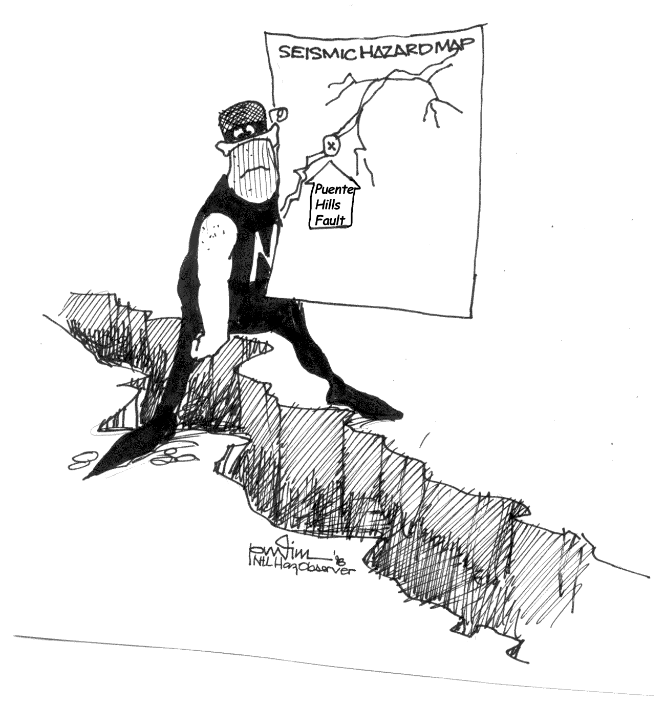
The Puente Hills Fault
The Puente Hills fault was discovered in 1999 by a team of SCEC scientists led by Harvard University professor John Shaw. The fault runs from northern Orange County to downtown LA and is completely buried by sediment. It was dubbed the Puente Hills thrust fault after the highlands above the eastern end of its 25-mile (40-kilometer) length. In 2003, SCEC scientists James Dolan and Shari Christofferson at USC, with John Shaw, published a study that showed that the Puente Hills thrust fault has experienced four major earthquakes in the past 11,000 years. These quakes may have been even larger than last week's magnitude 7.1 event.
Lists of earthquake-related informational resources and services are available on-line at http://www.earthquakecountry.info, a web site developed by SCEC for the "Earthquake Country Alliance." This group of science, engineering, response, and community organizations was formed to prepare for the ten-year anniversary of the 1994 Northridge earthquake in January 2004.
This scenario was written by Mark Benthien of the Southern California Earthquake Center and Jim Goltz of the California Office of Emergency Services, based on loss estimates generated by Hope Seligson of ABS Consulting using HAZUS-99. Ground motion data for HAZUS calculations were obtained from scenario ShakeMap data developed by David Wald of the U.S. Geological Survey, available at http://www.trinet.org/shake/archive/scenarihttp://www.colorado.edu/hazards/o/. Scaling factors have been applied to update building loss and casualty estimates, since the HAZUS-99 default building inventory and demographic data was developed in 1994.
Some Selected Internet Resources About Earthquake Hazards
http://www.scec.org
The Southern California Earthquake Center (SCEC), the source of the scenario above, is a Science and Technology Center of the National Science Foundation that brings scientists together from multiple institutions for joint research to reduce vulnerability to earthquake hazards in southern California. The formal mission of the center is to promote earthquake hazard reduction by estimating when and where future damaging earthquakes will occur, calculating the expected ground motion, and disseminating that information to the public.http://earthquake.usgs.gov
The U.S. Geological Survey (USGS) provides much earthquake information via dozens of different Internet avenues; however, this Earthquake Hazards Program site provides an entry point for almost all USGS earthquake information on the web. It includes pages covering the latest quakes, earthquake facts and lists, hazards and preparedness, information for children, earthquake science and technology, and links to related and regional sites.http://www.eeri.org
The Earthquake Engineering Research Institute (EERI) is a technical society of engineers, geoscientists, architects, planners, public officials, and social scientists (including researchers, practicing professionals, educators, government officials, and building code regulators). The recently remodeled EERI web site provides a list of upcoming EERI meetings and other events; descriptions of EERI services; a catalog of the many publications, slides, and videos available from the institute; and other information and news about earthquakes and earthquake hazard mitigation.http://mceer.buffalo.edu
http://peer.berkeley.edu
http://mae.ce.uiuc.edu
These are the web sites of the three National Science Foundation-sponsored Engineering Research Centers (ERCs) – the Multidisciplinary Center for Earthquake Engineering Research (MCEER), the Pacific Earthquake Engineering Research (PEER) Center, and the Mid-America Earthquake (MAE) Center, founded to pursue cutting-edge research in seismic engineering and provide earthquake hazard mitigation information and education to both students and the wider population of people, businesses, and institutions threatened by earthquakes. These sites offer a broad array of useful information and touch on everything from design and engineering to economics and policy planning.http://www.eqnet.org
EQNet is a collaborative effort of many of the institutions providing earthquake information in the U.S. It is a free, one-stop source for locating Internet information related to earthquake hazards mitigation.http://www.fema.gov/hazards/earthquakes
The Federal Emergency Management Agency (FEMA) web site hosts several different pages with information about earthquakes and earthquake mitigation. The page listed above describes earthquake hazards and provides information about what to do before, during, and after a quake; links to information about the National Earthquake Hazards Reduction Program (NEHRP); offers several mitigation success stories.These are only a few of the many useful earthquake web sites. For a list of recommended sites, see the Natural Hazard Center's web page: http://www.colorado.edu/hazards/resources/sites.html.
Table of Contents for This Issue of the Natural Hazards Observer
