Not so long ago, disaster-focused research centers were few and far between. Happily, that’s now changed, but we’re left with a different problem—how do we connect the hazards and disasters community with the myriad of available research?
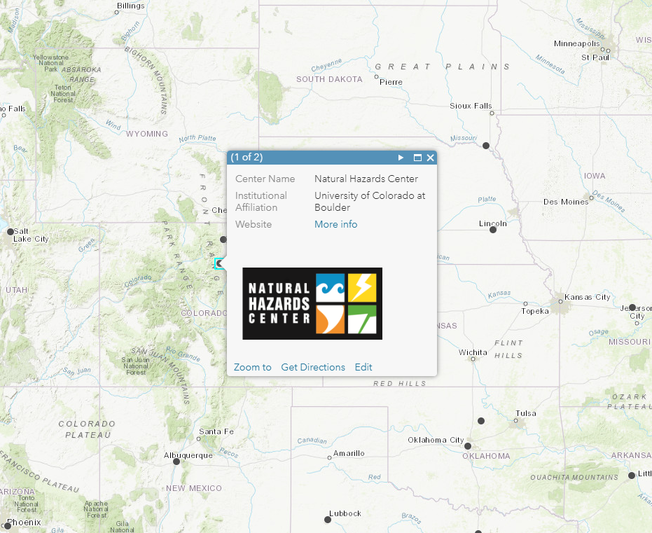
One answer is to put it on an interactive map. We’ve gathered information on more than 125 hazards and disaster research centers in North America and the Caribbean and indexed it on an easy-to-use map. The comprehensive collection includes centers doing work on a wide range of social science, public health, and engineering research.
 A pop-up view makes it easy to learn more about Centers in your search.
Map users can browse through centers by geographic location via the map interface or search a list of centers by state. Clicking on the locators will reveal a pop-up menu with basic information about each center and a link to further resources.
From the earliest days of the Natural Hazards Workshop to recent efforts such as ISEEER/SSEER, the Natural Hazards Center has focused on keeping our community connected both in the United States and abroad. The current map is only the first step of this ongoing project. Next, we’ll be creating similar maps and listings for other regions of the world.
We hope you’ll take a look and give us your feedback. If you don’t see your Center on this page, or if you’d like to update or add information to a center currently on the map, please email Lori Peek at lori.peek@colorado.edu.