Tuesday, May 11, 2021 | 11:00 a.m. to Noon MT
Mapping Risk: The National Risk Index for Natural Hazards
Webinar Description:
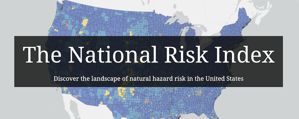
This webinar will take a close look at the Federal Emergency Management Agency National Risk Index. The index is a new online mapping application that identifies the communities that face the most risk from 18 identified natural hazards. Using geographic information system services, the index provides interactive web maps created at the county and census tract level for use in custom analyses. With this data, researchers can visualize natural hazard risk metrics, as well as expected annual losses, social vulnerabilities, and community resilience. Webinar participants will learn more about the motivation and methodology for creating the index, while also having an opportunity to visualize U.S. locations with the most and least risk to natural hazards. There will be plenty of time for questions and answers, so please join us to learn more about this new interactive tool.
Speaker:
Casey Zuzak, Federal Emergency Management Agency
Senior Risk Analyst, Risk Management Directorate
Natural Hazards Center Overview Slides
Webinar Slides
Resources:
Access the National Risk Index

Casey Zuzak is a senior risk analyst for Hazus and the Natural Hazards Risk Assessment Program in the Risk Management Directorate at the Federal Emergency Management Agency (FEMA), as well as the lead for the National Risk Index. The risk assessment program provides natural hazard risk assessment data, tools, and analyses to support FEMA's strategic goals in the development of risk communication. Zuzak has worked for FEMA since 2011 and has a master's in geography from the University of South Carolina.