Tuesday, June 9, 2020 | 11:00 a.m. to Noon MT
Collaborative Risk Communication: Landslide Guide for Residents of Puerto Rico
Webinar Description:
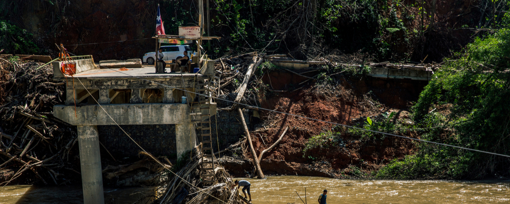
Hurricane Maria triggered 70,000 landslides across Puerto Rico when it struck the island in 2017. The far-reaching impacts of this event prompted requests for scientific information, mitigation assistance, and risk communication guidance. A team from the U.S. Geological Survey, the University of Puerto Rico Mayagüez, and the Natural Hazards Center at University of Colorado Boulder responded with the recently released Landslide Guide for Residents of Puerto Rico, a risk communication tool designed particularly for Puerto Rico. Webinar participants will learn how the team created a successful government–university partnership that incorporated feedback of dozens of stakeholders into the finished product. Join the team as they share their experiences and lessons learned in creating a collaborative and culturally informed guide to recognizing and mitigating landslide risk.
Descripción del webinar: El huracán María provocó 70,000 deslizamientos de tierra en Puerto Rico cuando azotó a la isla en 2017. Los impactos extensivos de este evento provocaron solicitudes de información científica, asistencia de mitigación y orientación sobre comunicación de riesgos. Un equipo de los Servicios Geológicos de los Estado Unidos, la Universidad de Puerto Rico Mayagüez y el Natural Hazards Center de la Universidad de Colorado Boulder respondieron con la recién publicada Guía de deslizamiento de tierra para residentes de Puerto Rico, una herramienta de comunicación de riesgos diseñada especialmente para Puerto Rico. Está disponible en español e inglés. Los participantes del webinar aprenderán cómo el equipo creó una colaboración exitosa entre el gobierno y la universidad y incorporó los comentarios de docenas de contribuidores en el producto final. Únase al equipo mientras comparten sus experiencias y lecciones aprendidas al crear una guía colaborativa y culturalmente informada para reconocer y mitigar el riesgo de deslizamientos de tierra.
Speakers:
Raquel Lugo Bendezú
Undergraduate Research Assistant, University of Puerto Rico Mayagüez
Lindsay Davis
Earthquake Disaster Assistance Team Manager, U.S. Geological Survey
Yahaira D. Álvarez Gandía
Undergraduate Research Assistant, University of Puerto Rico Mayagüez
Jonathan Godt
Survey Landslide Hazards Program Coordinator, U.S. Geological Survey
Jocelyn West
Graduate Research Assistant, Natural Hazards Center, University of Colorado Boulder
Natural Hazards Center Overview Slides
Resources:
Landslide Guide for Residents of Puerto Rico
Puerto Rico Landslide Hazard Mitigation Project
Students Promote Landslide Education Across Puerto Rico
Story Map: Landslides in Puerto Rico
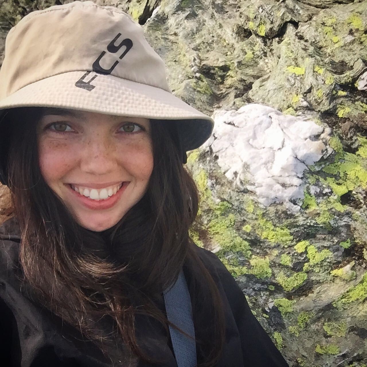
Raquel Lugo Bendezú is a geology student at the University of Puerto Rico Mayagüez. She works as an undergraduate research assistant, developing educational materials to engage the residents of Puerto Rico in landside risk reduction efforts as part of a collaborative project with the Natural Hazards Center, the University of Puerto Rico Mayagüez, and the U.S. Geological Survey. In addition, she has worked as a research assistant for the tsunami program of the educational division of the Puerto Rico Seismic Network where she used GIS technology to update tsunami evacuation signs. Lugo Bendezú is passionate about using art and design to advance science education and helping communities reduce the risks posed by natural and environmental hazards.
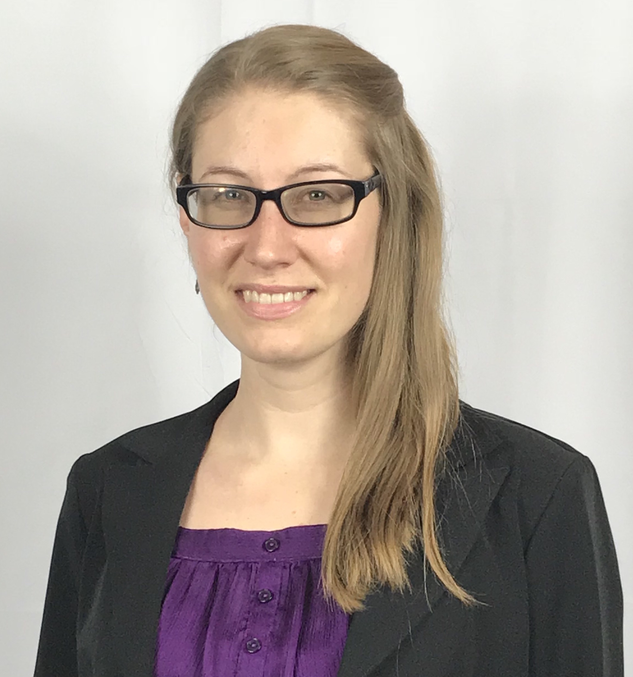
Lindsay Davis is the Earthquake Disaster Assistance Team manager at the U.S. Geological Survey and a research affiliate of the Natural Hazards Center. Davis contributes to a landslide hazard project for Puerto Rico as a collaborative effort between the Natural Hazards Center, USGS, and University of Puerto Rico Mayagüez. Previously, she worked as a research associate for the Center and as a science policy fellow with the Geological Society of America. Davis has also served as a Peace Corps response volunteer for disaster risk reduction and management in the Philippines. She earned a master’s in geology from Michigan Technological University through the Peace Corps Master's International program. As part of her degree work, she conducted anthropological research on natural hazards in the rural community in the highlands of El Salvador where she served as a Peace Corps volunteer from 2013-2015. Davis volunteered with the gas geochemistry team at the Hawaiian Volcano Observatory for seven months during 2011 and 2012 and has held short-term positions in emergency management and risk communication with California State University, Fullerton and the Southern California Earthquake Center.
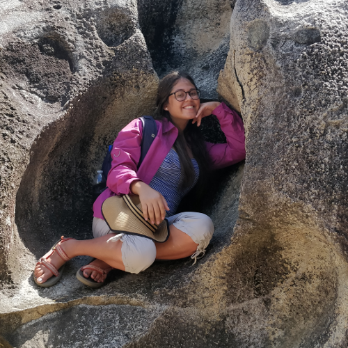
Yahaira D. Álvarez Gandía is an undergraduate student from the University of Puerto Rico Mayagüez (UPRM) majoring in geology with a emphasis in natural resources. Her passion and drive revolve around the natural world. She is working towards becoming a marine geologist with a focus on ocean conservation. Álvarez Gandía has also been an active participant in the UPRM geology department, assisting in the aftermath of Hurricane Maria and serving as secretary of the student geological society. She is currently a research assistant working on a collaborative project with UPRM, the Natural Hazards Center, and the U.S. Geological Survey to produce education and outreach materials on landslide hazards and to develop strategies to engage the residents of Puerto Rico in landslide risk reduction.
![]()
Jonathan Godt is the coordinator of the U.S. Geological Survey Landslide Hazards Program and is responsible for directing the only federal program devoted to landslide science and risk reduction. His research focus on understanding the physical processes controlling landslide initiation has informed the technical assistance the program provides to partners domestically and abroad. Godt has been with the USGS since 1996 and coordinator of the program since 2014. He holds a PhD in geography from the University of Colorado Boulder.
Jocelyn West is a graduate research assistant at the Natural Hazards Center and a doctoral student in the Department of Sociology at the University of Colorado Boulder. Her research interests include social vulnerability to natural hazards and climate change as well as community engagement in disaster risk reduction. West's professional experience spans international development and geological science, with a focus on disaster risk and recovery. West previously worked to improve risk communication with the World Bank, conducted earthquake research in Nepal, and participated in disaster response in Texas and Puerto Rico. She has also worked internationally in Singapore, Indonesia, Dominica, and Peru. West holds a degree in geological science and education policy from Brown University.